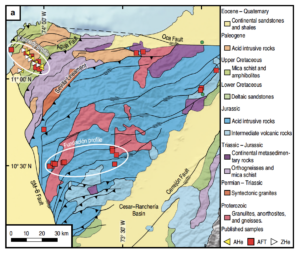
Sierra Nevada de Santa Marta: Earth’s highest coastal mountain
My friend Maria met me in Medellín, and from there we flew north to Santa Marta, located on the Caribbean coast. Santa Marta was founded in 1525, and is the oldest surviving Spanish settlement in Colombia. Prior to the Spanish conquest, the native Tayrona people had lived in the region for thousands of years. In a story common throughout the...
Bienvenidos a Colombia: welcome to the northwest corner of South America
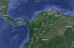
In my continuing quest to learn more about South America’s geology, culture and history, I traveled for a month (mid February–mid March) in Colombia, located in the northwestern corner of South America. Colombia is at the northern end of the Andes, the longest mountain range on our planet. It is the only South American country with coasts on both the...
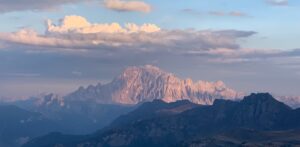
Why are the Dolomite mountains so tall?
My first post about the Italian Dolomites described how the carbonate platforms formed from the hard parts of organisms living in shallow parts of a warm, tropical ocean (https://landscapes-revealed.net/trekking-through-an-ancient-sea-in-the-italian-dolomites/). The second post described other rock types in the Dolomites, namely igneous rocks and sedimentary rocks transported to the ocean from land (https://landscapes-revealed.net/not-all-of-the-rocks-in-the-italian-dolomites-are-dolomite/). Although created near sea level, the highest peaks...
How did the Himalayas get to be Earth’s highest mountain range?
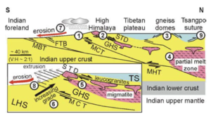
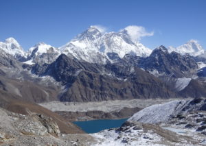
In my last four posts, I described the 21-day trek we did in the Everest region in November 2021, including some of our geologic observations along the way. In this final post, I explain how these mountains evolved to achieve such immense size and beauty. Here's how Earth's continents were distributed 50 million years ago (Ma). At about 200 Ma,...
Trekking in the Khumbu region of the Nepal Himalayas, Part 4: from Gokyo back to Lukla
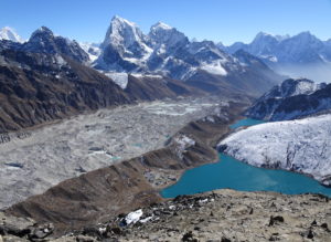
The last leg of our 21-day trek extended west from Goyko to cross the Renjo La (pass), then south down the Bhote Koshi valley back to Namche, and finally down the Dudh Koshi valley to Lukla, where we flew back to Kathmandu. Please see my first post for a map of the trek, including this last leg: https://landscapes-revealed.net/trekking-in-the-khumbu-region-of-the-nepal-himalayas-part-1-from-kathmandu-to-namche/. The area...
Trekking in the Khumbu region of the Nepal Himalayas, Part 3: to Everest Base Camp and Goyko
From Chhukhung (end of Part 2 post: https://landscapes-revealed.net/trekking-in-the-khumbu-region-of-the-nepal-himalayas-part-2-all-hail-to-ama-dablam/), our next destination was Gorak Shep and Everest Base Camp. We trekkers split into two groups: one group hiked from Chhukhung over the Kongma La (pass) to Lobuche; the other group hiked down the valley from Chhukhung to Dingboche, then followed another valley northward to Lobuche. See my first post for a...
Trekking in the Khumbu region of the Nepal Himalayas, Part 2: All hail to Ama Dablam
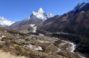
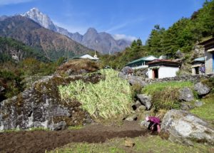
This second post about trekking in our planet's highest mountains is a tribute to Ama Dablam, the mountain we saw all along the route to the northeast from Namche to Chhukhung, where we reached the highest elevation of the trek. As we continued uphill, we found steeper trails, more primitive lodges, and lots of in-your-face geology! Link to my first...
Trekking in the Khumbu region of the Nepal Himalayas, Part 1: from Kathmandu to Namche
What geologist doesn’t yearn to experience the grandeur of our planet’s highest mountain range? Certainly, I was exhilarated by the opportunity to gaze upon the breathtaking landscapes of the Himalayas, formed during the past 50 million years, as the sub-continent of India has been colliding with the continent of Asia. We spent the month of November 2021 in Nepal—the main...
Why are there so many hills in San Francisco?
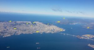
Any visitor to San Francisco will be impressed by the number of hills and how they contribute to the overall beauty of the city. People (like me) who have resided in San Francisco have found biking and walking routes to avoid the steepest hills, and have appreciated how the hills compartmentalize the city into distinctive neighborhoods and provide stunning views....
Plate tectonics 101—what happens when plates move toward each other?
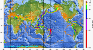
When plates move away from each other (divergent boundaries; see last post on December 31), new oceanic crust is created. Since Earth is not expanding, ocean crust must be destroyed elsewhere. This happens at convergent boundaries, where plates move toward each other. Here, oceanic crust is destroyed, or rather, it gets recycled back into Earth's depths. The places where oceanic...
Traversing the Swiss Alps on the Haute Route—the eastern end
After three days of traversing steep rocky passes in the cold and snow, we were ready for warm, clear weather and green valleys with quaint Swiss villages. The last snowy impediment was the Pas de Chévres, which was a little intimidating because of its vertical steel ladders. But by the time we had crossed over the glacier east of Cabane...
Traversing the Swiss Alps on the Haute Route—the middle section
Continuing eastward on the Haute Route is a roller-coaster trek of long uphills and downhills, with great expectations about what type of landscape will appear after topping the next pass and then what little village will lie in the valley at the bottom. In general, lodging in the valleys is in small hotels; in some parts, the route stays high...
About the Blogger
 Karen (here with Mt. Shasta in background) is a geology professor emerita who aims to provide a "pocket geologist" for world travelers. Follow the blog to explore the landscapes of our planet and figure out what causes them to look the way they do.

