Los Picos de Europa—a history of collisions
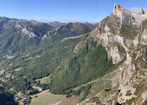
We now travel farther back in time to the Paleozoic Era when Los Picos de Europa (the Peaks of Europe) were formed in a series of sedimentary basins that were later deformed and uplifted during two major collisions between continents. This post focuses on the geologic history of Los Picos and my next post will focus on the 10-day trek...
The Jurassic (dinosaur) coast of Asturias: Part 2
For three amazing days in early September, we went dinosaur hunting along the Jurassic Coast in northern Spain. We were seeking the tracks of dinosaurs that inhabited this coastal region around 155–145 million years ago, and we found a lot! An example of what we found. Left photo: Jay's foot in the ~150 million-year-old footprint of a dinosaur. Right photo:...
The Jurassic (dinosaur) coast of Asturias: Part 1
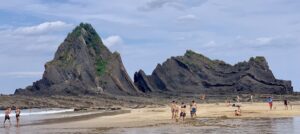
The Jurassic Coast in northern Spain is located in Asturias between the autonomous communities of Galicia (to the west) and Cantabria (to the east). The Jurassic Period is the middle part of the Mesozoic Era, extending from ~200–145 million years ago. So we are going back in time more than 35 million years from the time period recorded in sediments...
A tour through the Basque Geopark flysch
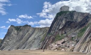
My previous post provided background information, including location map, about the Basque Coastal Geopark (https://landscapes-revealed.net/the-basque-geopark-60-million-years-in-20-km/). This post provides more details about this extraordinary sequence of sedimentary rocks called "flysch" (pronounced "flish"). When you are in the Geopark, you will constantly see this word. The fancifully-decorated FLYSCH sign is advertising "Guided activities during all of the year". The boats for guided...
The Basque Geopark—60 million years in 20 km
Clearly, I did not find time to post any more blogs during our travels in northern Spain. The upcoming posts will follow a geologic time scale—from younger to older—rather than the chronology of our travels. This post focuses on a sequence of sedimentary rocks that were deposited between 110 and 50 million years ago, during the Cretaceous and Paleogene Periods....
Marine fossils in Colombia’s Eastern Cordillera
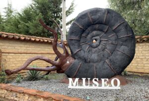
Our Colombian trip ended in Bogotá, in the Eastern Cordillera. The active volcanoes associated with the offshore subduction zone are farther west, in the Central Cordillera. For maps of the plate tectonic setting, see my first Colombian post: https://landscapes-revealed.net/bienvenidos-a-colombia-welcome-to-the-northwest-corner-of-south-america. The landward position of the Eastern Cordillera, east of the active volcanoes, is a region geologists refer to as the back-arc—that...
Trekking through an ancient sea in the Italian Dolomites
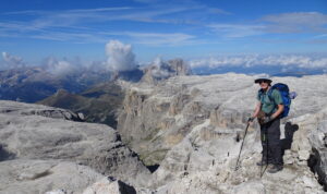
The main purpose of our August–September trip to Italy was to explore the much-lauded Dolomite Mountains, located in northeastern Italy (Trentino-Alto Adige province) just a few hours north of Venice. The gleaming steep-sloped white mountain blocks separated by verdant valleys were just as spectacular as we had been led to believe! This view is northeastward from Piz Boe (see 3-D...
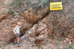
Discovering what killed the dinosaurs in Gubbio, Italy
Our 4-week trip to Italy in August and September was mainly focused on trekking in the Dolomite Mountains—those posts to come later! During the planning process, I realized the town of Gubbio is located just 4.5 hours south of Venice, where we were flying in and out of. We had to go there! A rock outcrop just east of Gubbio...
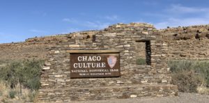
Rock architects in the 9th–13th centuries: Chaco Canyon National Historic Park and World Heritage Site
There is evidence that people have been inhabiting the region we now call northern New Mexico for at least 10,000 years. But starting in the mid-800s, the Native Chaco people began to build massive, multi-story stone buildings—referred to as “great houses”—that they continued to expand for more than 300 years. In early June, we visited the Chaco Canyon historic park...
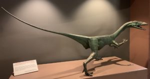
The dinosaur that went to space: the state fossil of New Mexico
Who knew that New Mexico has one of the world's most famous dinosaur species? I sure didn't until our recent visit to Ghost Ranch, located about an hour north of Santa Fe (see my last post about Georgia O'Keefe and her life in that region: https://landscapes-revealed.net/the-rocks-of-georgia-okeefe/). It turns out that a Ghost Ranch quarry has yielded hundreds of Coelophysis dinosaur...
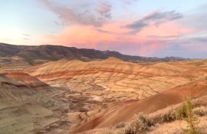
John Day Fossil Beds National Monument—climate
My previous post about paleontology explored how plants and animals changed during the 44-million-year time period represented in the John Day Fossil Beds. The evolution of species, in general, occurs because species eventually become extinct and new species arise to take their places. Today, human activities are contributing to organisms' extinction, but there are many natural factors that have caused...
John Day Fossil Beds National Monument—paleontology
Paleontology is the study of plant and animal fossils to understand how life has evolved through geologic time. The John Day Fossil Beds are a world-class locality for such studies. According to Dr. Ralph W. Chaney, a paleontologist at the University of California Berkeley (UCB) who worked in the area from the 1920s through the 1960s: “No region in the...
About the Blogger
 Karen (here with Mt. Shasta in background) is a geology professor emerita who aims to provide a "pocket geologist" for world travelers. Follow the blog to explore the landscapes of our planet and figure out what causes them to look the way they do.

