Trekking in Los Picos de Europa
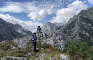
We completed a 10-day trek in Los Picos in early September—arriving in Arenas de Cabrales on 3 September, trekking from 4–13 September, and continuing onward from Arenas on 14 September. It was a self-guided trip. We worked with a company called Natural Adventure, who made our lodging reservations and provided us with apps, maps, and other information we used to...
Los Picos de Europa—a history of collisions
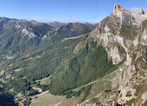
We now travel farther back in time to the Paleozoic Era when Los Picos de Europa (the Peaks of Europe) were formed in a series of sedimentary basins that were later deformed and uplifted during two major collisions between continents. This post focuses on the geologic history of Los Picos and my next post will focus on the 10-day trek...
A tour through the Basque Geopark flysch
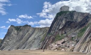
My previous post provided background information, including location map, about the Basque Coastal Geopark (https://landscapes-revealed.net/the-basque-geopark-60-million-years-in-20-km/). This post provides more details about this extraordinary sequence of sedimentary rocks called "flysch" (pronounced "flish"). When you are in the Geopark, you will constantly see this word. The fancifully-decorated FLYSCH sign is advertising "Guided activities during all of the year". The boats for guided...
The Basque Geopark—60 million years in 20 km
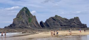
Clearly, I did not find time to post any more blogs during our travels in northern Spain. The upcoming posts will follow a geologic time scale—from younger to older—rather than the chronology of our travels. This post focuses on a sequence of sedimentary rocks that were deposited between 110 and 50 million years ago, during the Cretaceous and Paleogene Periods....
Why are the Dolomite mountains so tall?
My first post about the Italian Dolomites described how the carbonate platforms formed from the hard parts of organisms living in shallow parts of a warm, tropical ocean (https://landscapes-revealed.net/trekking-through-an-ancient-sea-in-the-italian-dolomites/). The second post described other rock types in the Dolomites, namely igneous rocks and sedimentary rocks transported to the ocean from land (https://landscapes-revealed.net/not-all-of-the-rocks-in-the-italian-dolomites-are-dolomite/). Although created near sea level, the highest peaks...
Not all of the rocks in the Italian Dolomites are dolomite
As explained in my last post (https://landscapes-revealed.net/trekking-through-an-ancient-sea-in-the-italian-dolomites/), the Dolomites were named after a French geologist, whose name was also given to the dolomite mineral. Indeed, the spectacular white peaks of dolomite are what catches the eye when in the Dolomite mountains. But there are other rock types with clues to the geologic history of the region, notably thick sequences of...
Trekking through an ancient sea in the Italian Dolomites
The main purpose of our August–September trip to Italy was to explore the much-lauded Dolomite Mountains, located in northeastern Italy (Trentino-Alto Adige province) just a few hours north of Venice. The gleaming steep-sloped white mountain blocks separated by verdant valleys were just as spectacular as we had been led to believe! This view is northeastward from Piz Boe (see 3-D...
Traversing the Swiss Alps on the Haute Route—the eastern end
After three days of traversing steep rocky passes in the cold and snow, we were ready for warm, clear weather and green valleys with quaint Swiss villages. The last snowy impediment was the Pas de Chévres, which was a little intimidating because of its vertical steel ladders. But by the time we had crossed over the glacier east of Cabane...
Traversing the Swiss Alps on the Haute Route—the middle section
Continuing eastward on the Haute Route is a roller-coaster trek of long uphills and downhills, with great expectations about what type of landscape will appear after topping the next pass and then what little village will lie in the valley at the bottom. In general, lodging in the valleys is in small hotels; in some parts, the route stays high...
Traversing the Swiss Alps on the Haute Route—the western end
The Haute Route was established as a route for skiers but is now also very popular for hikers in the summer. The route extends from Chamonix (France) to Zermatt (Switzerland). There are many variations on the route; most people choose a 7–14 day transect that could include "short cuts" of chair lifts, trains and/or buses. The map below (from https://www.pinterest.com/pin/205828645448998187/)...
About the Blogger
 Karen (here with Mt. Shasta in background) is a geology professor emerita who aims to provide a "pocket geologist" for world travelers. Follow the blog to explore the landscapes of our planet and figure out what causes them to look the way they do.

