Welcoming 2024 on Songer Butte, Ashland
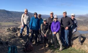
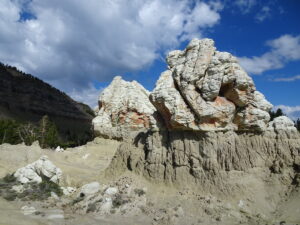
Happy 2024—may we greet its challenges with peace and optimism. And what better way to bring in the new year, and focus on the positives, than to get out into nature. This post will highlight some of the geologic features that are visible from Songer Butte, where our Ashland Hiking Group went on New Years Day. Songer Butte is located...
Trekking in Los Picos de Europa
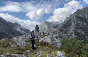
We completed a 10-day trek in Los Picos in early September—arriving in Arenas de Cabrales on 3 September, trekking from 4–13 September, and continuing onward from Arenas on 14 September. It was a self-guided trip. We worked with a company called Natural Adventure, who made our lodging reservations and provided us with apps, maps, and other information we used to...
Los Picos de Europa—a history of collisions
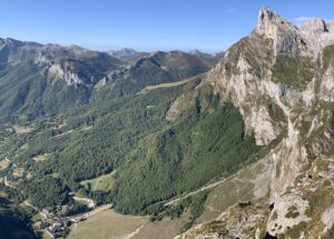
We now travel farther back in time to the Paleozoic Era when Los Picos de Europa (the Peaks of Europe) were formed in a series of sedimentary basins that were later deformed and uplifted during two major collisions between continents. This post focuses on the geologic history of Los Picos and my next post will focus on the 10-day trek...
The Jurassic (dinosaur) coast of Asturias: Part 2
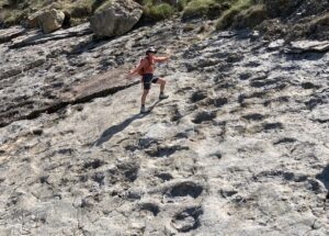
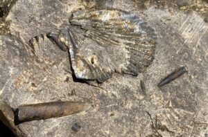
For three amazing days in early September, we went dinosaur hunting along the Jurassic Coast in northern Spain. We were seeking the tracks of dinosaurs that inhabited this coastal region around 155–145 million years ago, and we found a lot! An example of what we found. Left photo: Jay's foot in the ~150 million-year-old footprint of a dinosaur. Right photo:...
The Jurassic (dinosaur) coast of Asturias: Part 1
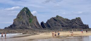
The Jurassic Coast in northern Spain is located in Asturias between the autonomous communities of Galicia (to the west) and Cantabria (to the east). The Jurassic Period is the middle part of the Mesozoic Era, extending from ~200–145 million years ago. So we are going back in time more than 35 million years from the time period recorded in sediments...
A tour through the Basque Geopark flysch
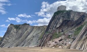
My previous post provided background information, including location map, about the Basque Coastal Geopark (https://landscapes-revealed.net/the-basque-geopark-60-million-years-in-20-km/). This post provides more details about this extraordinary sequence of sedimentary rocks called "flysch" (pronounced "flish"). When you are in the Geopark, you will constantly see this word. The fancifully-decorated FLYSCH sign is advertising "Guided activities during all of the year". The boats for guided...
The Basque Geopark—60 million years in 20 km
Clearly, I did not find time to post any more blogs during our travels in northern Spain. The upcoming posts will follow a geologic time scale—from younger to older—rather than the chronology of our travels. This post focuses on a sequence of sedimentary rocks that were deposited between 110 and 50 million years ago, during the Cretaceous and Paleogene Periods....
Paleolithic rock art in Cantabria, northern Spain
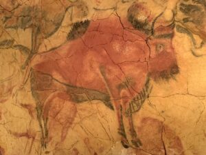
In northern Spain, we will find many interesting geologic features to explore during our month-long trip. Our first day's activities (on 30 August) focused on the intersection of geology and early humans. In Cantabria, there are 17 cave sites that can be visited. We visited three caves whose walls were decorated during the Late Paleolithic period starting more than 40,000...
Warner Range in the northeast corner of California
Because of its remote location far from urban centers, the Warner Mountain Range is relatively unknown. We have thought about visiting this place, and exploring its volcanic rocks, for many years. We knew about the Warners because my husband Jay traveled through them on the way to his geologic field site in the Black Rock Desert in northwestern Nevada (see...
Marble Mountain Wilderness in northern California
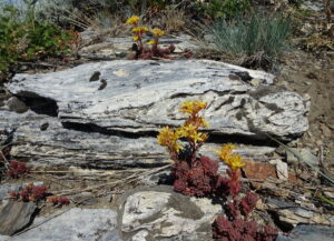
Marble, with its typical brilliant white color, is beautiful! And it's rare on the U.S. west coast. So I was excited to finally visit the Marble Mountains in northern California via a backpacking trip from July 13–16. Five of us traveled 2 hours south from Ashland, Oregon, and parked at the Lovers Camp trailhead. From there, we hiked up to...
Oregon’s Erratic Rock State Natural Site
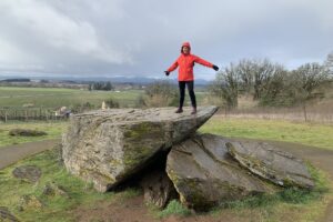
One of Oregon's smallest natural areas is Erratic Rock State Natural Site, located 12 km (seven miles) southwest of McMinnville on State Highway 18. The site is located 75 km (45 miles) southwest of Portland. In March, while in McMinnville on a wine-tasting excursion with friends, Jay and I visited the erratic rock. What is an erratic rock? During most...
Rafting the Owyhee River—Oregon’s Grand Canyon
On April 10–14, we rafted the Lower Owyhee River in easternmost Oregon with Ouzel Outfitters (https://www.oregonrafting.com/owyhee-river). Because this part of the river is not dammed, and the climate is arid, there is only enough flow for rafting during the earliest part of the season. The droughts of the past few years meant that most trips were cancelled, as ours was...
About the Blogger
 Karen (here with Mt. Shasta in background) is a geology professor emerita who aims to provide a "pocket geologist" for world travelers. Follow the blog to explore the landscapes of our planet and figure out what causes them to look the way they do.

