Paleolithic rock art in Cantabria, northern Spain
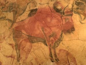
In northern Spain, we will find many interesting geologic features to explore during our month-long trip. Our first day's activities (on 30 August) focused on the intersection of geology and early humans. In Cantabria, there are 17 cave sites that can be visited. We visited three caves whose walls were decorated during the Late Paleolithic period starting more than 40,000...
Rock art in Ravenna, Italy
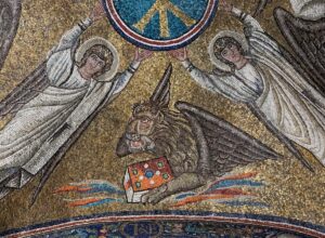
In August, on our way back north from Gubbio, we stopped at Ravenna, a small city famous for its 5–6th century Byzantine mosaics. Ravenna is just 2 hours south of Venice and is well worth a 2–3 day visit. The purpose of this post is two-fold. (1) To introduce readers to a place with incredible interior art work mostly made...
Climate, culture and history of the Quebrada de Humahuaca
Because the Quebrada de Humahuaca is such a long north-south valley with readily available water from the river (Rio Grande) that cut it, it has been a well-used route connecting Peru, Bolivia and Argentina for thousands of years. The region was also important in the revolution for independence from Spain (1810). To the west, the highest part of the Andes,...
Human interactions with the Lava Beds landscape
The Modoc group of Native Americans have lived in the region that is now the Lava Beds National Monument for thousands of years. They left little imprint on the land, but they did leave some rock art that is interesting to examine. Two caves—Big Painted Cave and Symbol Bridge Cave—contain pictographs that are painted onto the rocks with a charcoal-based...
La Ruta 40—now and 9,000 years ago
You may be familiar with Highway 50 in Nevada—it is the slow road going east–west. A book about this road is titled "The Loneliest Road in America". It gives a mile by mile description of features along the way (ghost towns, sand dunes, gold mines, etc.). For La Ruta 40 in Argentina, this would be a boring book indeed! Travel...
About the Blogger
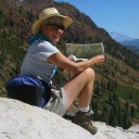
 Karen (here with Mt. Shasta in background) is a geology professor emerita who aims to provide a "pocket geologist" for world travelers. Follow the blog to explore the landscapes of our planet and figure out what causes them to look the way they do.


