Volcanoes galore in Iceland
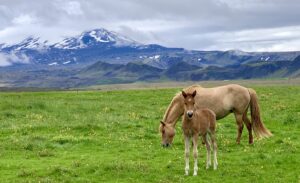
Iceland's "double whammy" position overlying both a mid-ocean ridge and a mantle hot spot produces vast outpourings of lava that have built the island up from the seafloor. Because of the hot spot, the volume of erupted material is about 10 times that found at normal mid-ocean locations that don't coincide with hot spots. In this post, I'll show some...
Standing between tectonic plates in Iceland
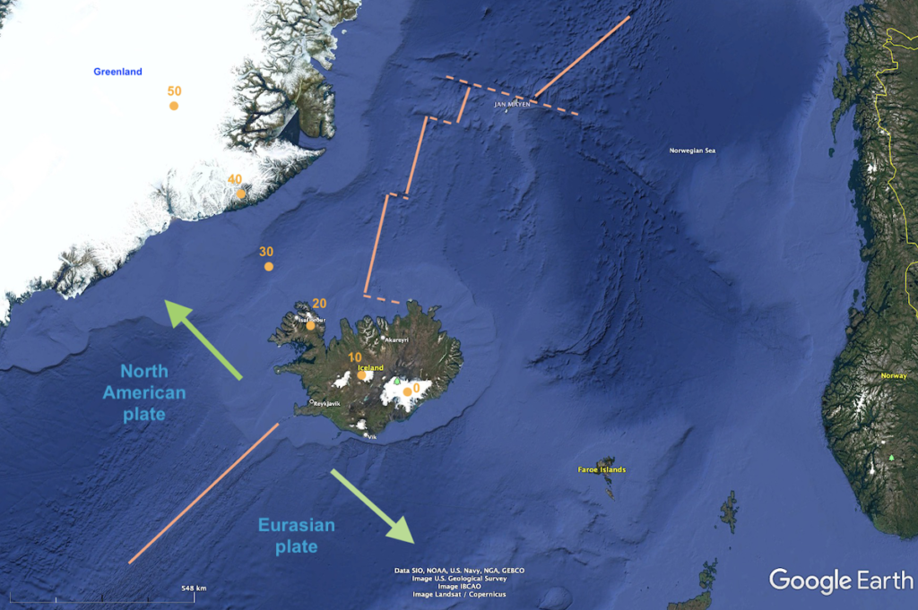
Sitting in the middle of the North Atlantic Ocean is the island country of Iceland. Visiting Iceland is on pretty much every geologist's "bucket list" because of its unique above-water position on a plate boundary where two plates are moving apart from each other (i.e., diverging). During a trip there with other geologists in July, I explored the landscapes of...
Rock architects in the 9th–13th centuries: Chaco Canyon National Historic Park and World Heritage Site
There is evidence that people have been inhabiting the region we now call northern New Mexico for at least 10,000 years. But starting in the mid-800s, the Native Chaco people began to build massive, multi-story stone buildings—referred to as “great houses”—that they continued to expand for more than 300 years. In early June, we visited the Chaco Canyon historic park...
The dinosaur that went to space: the state fossil of New Mexico
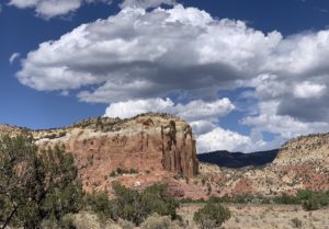
Who knew that New Mexico has one of the world's most famous dinosaur species? I sure didn't until our recent visit to Ghost Ranch, located about an hour north of Santa Fe (see my last post about Georgia O'Keefe and her life in that region: https://landscapes-revealed.net/the-rocks-of-georgia-okeefe/). It turns out that a Ghost Ranch quarry has yielded hundreds of Coelophysis dinosaur...
The rocks of Georgia O’Keefe
In 1929, at the age of 42, Georgia O’Keefe traveled from her home in New York City to northern New Mexico. There she fell in love with the landscape and culture and returned each summer for 20 years. She learned to drive and bought a Ford Model A that she used to explore the region, and in 1940 she bought...
The river of the west: the Columbia River’s source in British Columbia
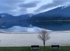
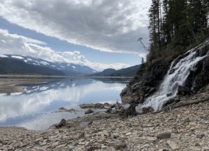
Local-centric me! Until my recent trip to British Columbia, I thought of the Columbia River only as the geographic feature separating Oregon and Washington. Little did I know that it is so long and its watershed so vast, or that it originates in Canada and produces a huge percent of U.S. hydropower. The route of my recent trip was primarily...
Why are there so many hot springs in southeastern British Columbia?
When the Pacific NW chapter of the American Association for Women Geoscientists (AWG) announced a new field trip—"Southeast British Columbia (BC) Hot Springs Geology Tour"—I eagerly signed on! The 12-day trip promised we would "spend our days looking at geology and our evenings soaking in hot water! But I wondered—natural hot springs are most commonly found in areas of active...
How did the Himalayas get to be Earth’s highest mountain range?
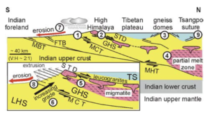
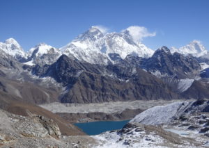
In my last four posts, I described the 21-day trek we did in the Everest region in November 2021, including some of our geologic observations along the way. In this final post, I explain how these mountains evolved to achieve such immense size and beauty. Here's how Earth's continents were distributed 50 million years ago (Ma). At about 200 Ma,...
Trekking in the Khumbu region of the Nepal Himalayas, Part 4: from Gokyo back to Lukla
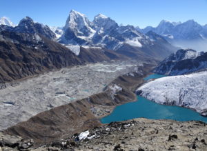
The last leg of our 21-day trek extended west from Goyko to cross the Renjo La (pass), then south down the Bhote Koshi valley back to Namche, and finally down the Dudh Koshi valley to Lukla, where we flew back to Kathmandu. Please see my first post for a map of the trek, including this last leg: https://landscapes-revealed.net/trekking-in-the-khumbu-region-of-the-nepal-himalayas-part-1-from-kathmandu-to-namche/. The area...
Trekking in the Khumbu region of the Nepal Himalayas, Part 3: to Everest Base Camp and Goyko
From Chhukhung (end of Part 2 post: https://landscapes-revealed.net/trekking-in-the-khumbu-region-of-the-nepal-himalayas-part-2-all-hail-to-ama-dablam/), our next destination was Gorak Shep and Everest Base Camp. We trekkers split into two groups: one group hiked from Chhukhung over the Kongma La (pass) to Lobuche; the other group hiked down the valley from Chhukhung to Dingboche, then followed another valley northward to Lobuche. See my first post for a...
Trekking in the Khumbu region of the Nepal Himalayas, Part 2: All hail to Ama Dablam
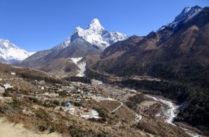
This second post about trekking in our planet's highest mountains is a tribute to Ama Dablam, the mountain we saw all along the route to the northeast from Namche to Chhukhung, where we reached the highest elevation of the trek. As we continued uphill, we found steeper trails, more primitive lodges, and lots of in-your-face geology! Link to my first...
Trekking in the Khumbu region of the Nepal Himalayas, Part 1: from Kathmandu to Namche
What geologist doesn’t yearn to experience the grandeur of our planet’s highest mountain range? Certainly, I was exhilarated by the opportunity to gaze upon the breathtaking landscapes of the Himalayas, formed during the past 50 million years, as the sub-continent of India has been colliding with the continent of Asia. We spent the month of November 2021 in Nepal—the main...
About the Blogger
 Karen (here with Mt. Shasta in background) is a geology professor emerita who aims to provide a "pocket geologist" for world travelers. Follow the blog to explore the landscapes of our planet and figure out what causes them to look the way they do.

