

Trekking to Ciudad Perdida—the “lost city” of Teyuna
My last post about Colombia focused on the north-coast city of Santa Marta and adjacent Sierra Nevada: https://landscapes-revealed.net/sierra-nevada-de-santa-marta-earths-highest-coastal-mountain/. Our principal goal there was a four-day trek to Ciudad Perdida, known as Teyuna by the indigenous people. We completed an additional three-day trek in the Sierra Nevada to further explore this amazing mountainous region with its indigenous villages and rural farms.
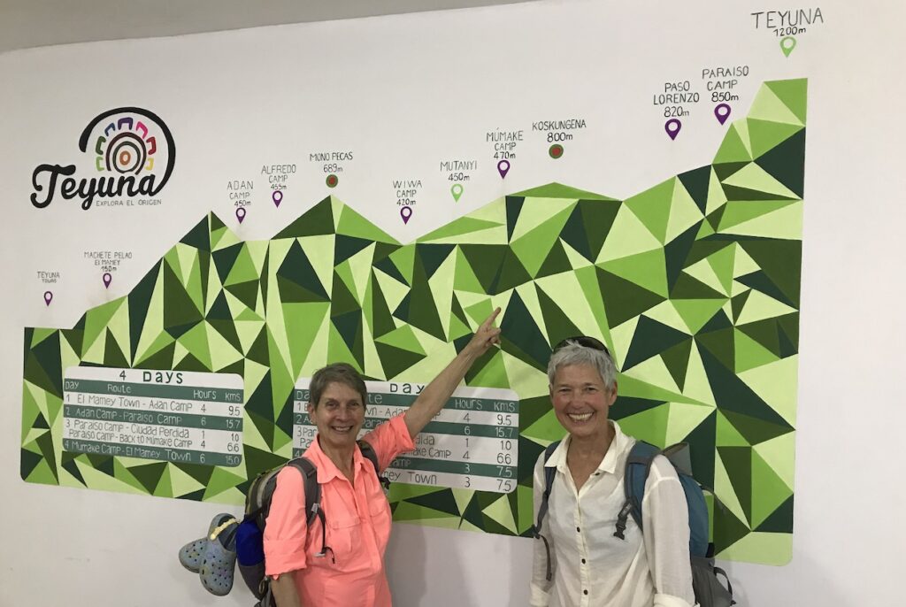
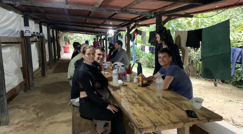
Four-day trek to Ciudad Perdida, aka Teyuna
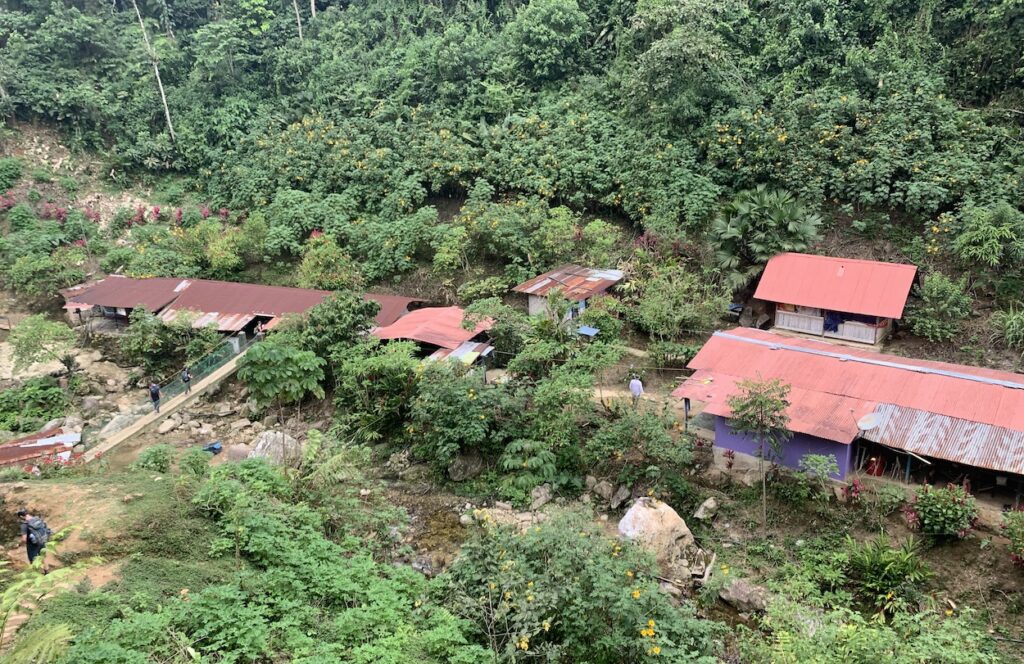
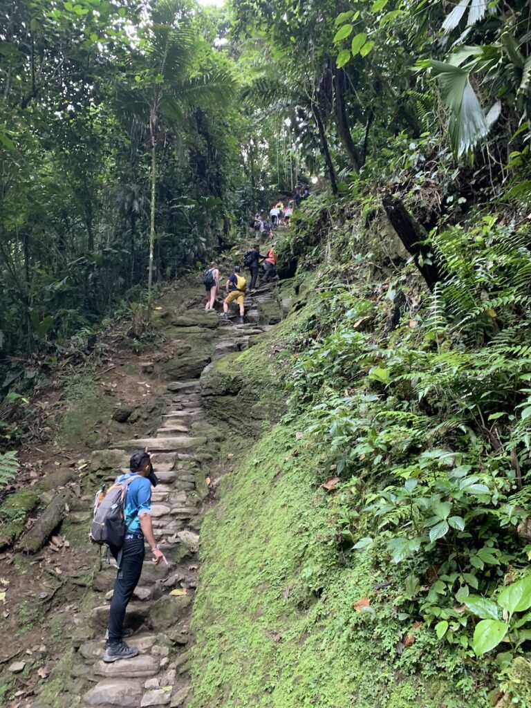
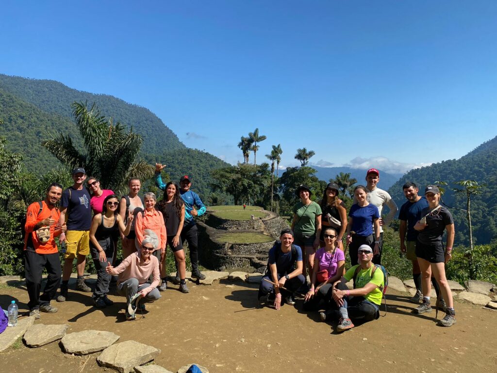
The Teyuna Archeological Park is administrated by the Instituto Colombiano de Antropología e Historia, in conjunction with the four indigenous groups—Kogui, Arhuaco, Kankuamo and Wiwa—that still inhabit the region. They are descendants of the original Tayrona (or Tairona) people who lived there for thousands of years and built ancient cities such as Teyuna. Access to Teyuna is tightly controlled and visitors must enter with one of the six tour companies that have been granted permission. Nevertheless, 150 visitors/day can enter the reserve, and with the increasing number of tourists to Colombia, this trek is becoming very popular.
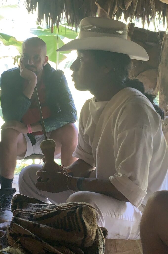
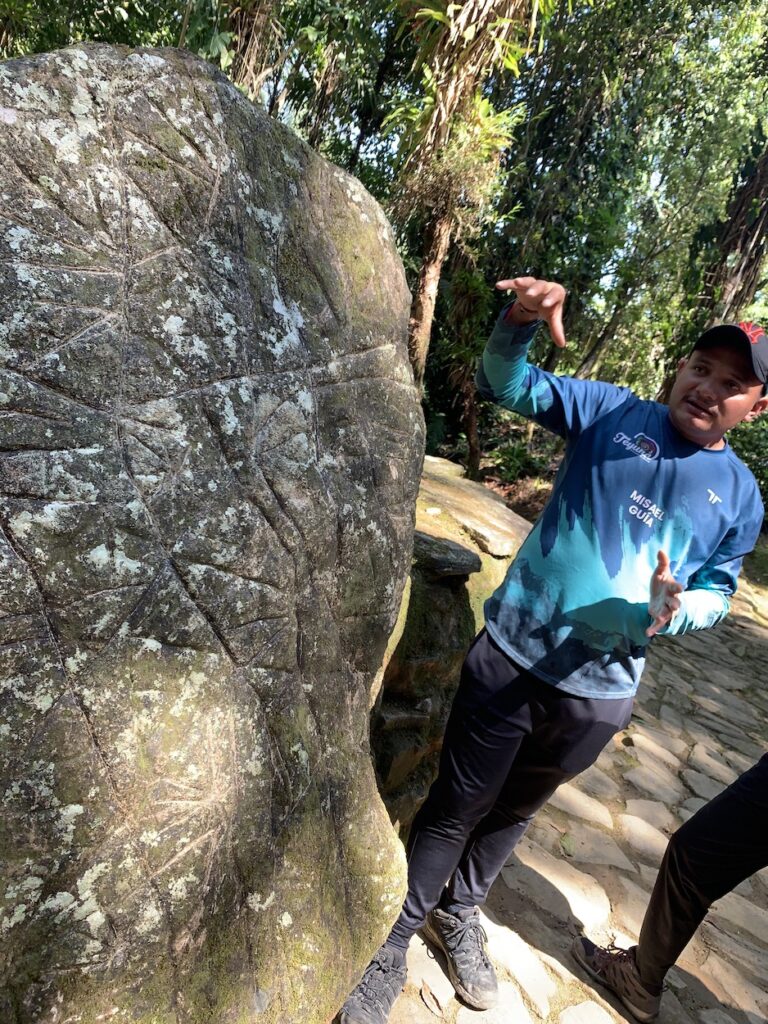
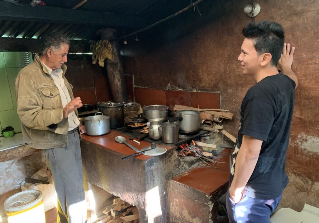
Right photo: During Day 2 we stopped in a thatched-roof structure to learn about the traditions of the Wiwa people from this man, who welcomed us to take photos and videos. The fiber bag next to him (called a “mochila”) holds coca leaves that the men chew throughout the day. The man is holding a “poporo”—a gourd that is filled with calcium carbonate obtained by pulverizing seashells. The long stick is used to transfer the seashell powder from the poporo into his mouth, where it stimulates the active ingredient in the coca leaves. Each young man is given a poporo at his 18th birthday, to mark the transition into adulthood. We often observed the men methodically rubbing the stick around the poporo, which acts to transfer the calcium carbonate / saliva mixture onto the gourd’s exterior. Over time, what started as a small gourd becomes a large poporo. As this sacred object grows, the Wiwa say, so does the owner’s knowledge of the world. We were told that women have different traditions as they transition to adulthood.
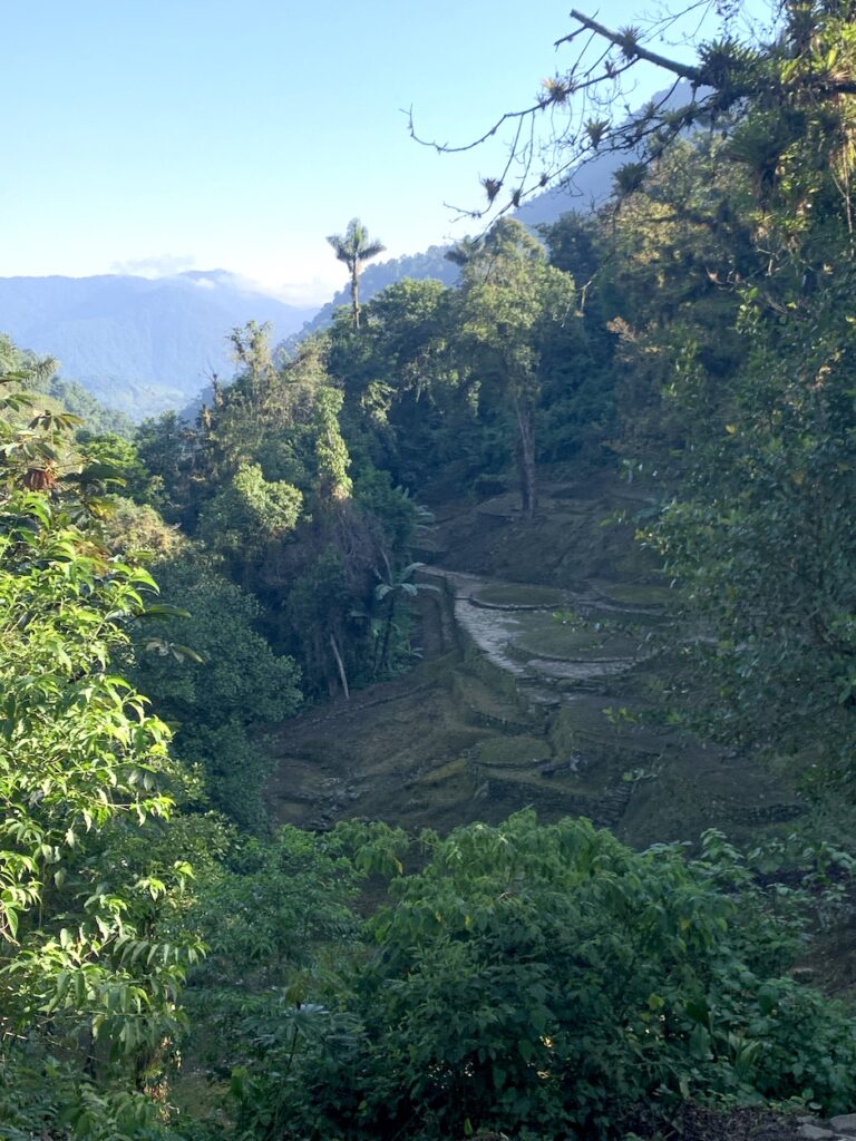
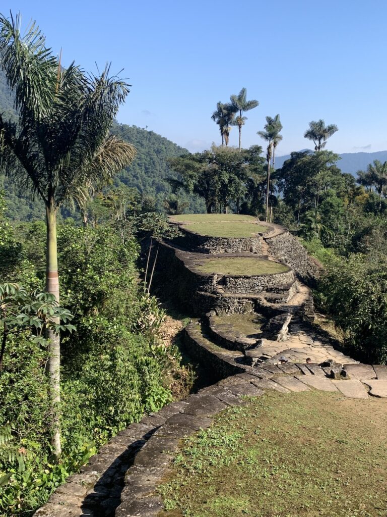
Right photo: The “lost city” was never really lost to the indigenous people, who returned to the area although it was completely overgrown after centuries of vegetation growth in this tropical climate. In 1972, looters “discovered” the site and began to sell items made of gold and semi-precious rock on the black market. Archaeologists then began exploring the region and major excavations continued for six years after Ciudad Perdida was officially recognized in 1976. This photo illustrates some of the excavated platforms in the midst of jungle where more structures remain. The indigenous people do not allow further excavations in the area, an understandable response to the disruption that so many visitors is already causing.
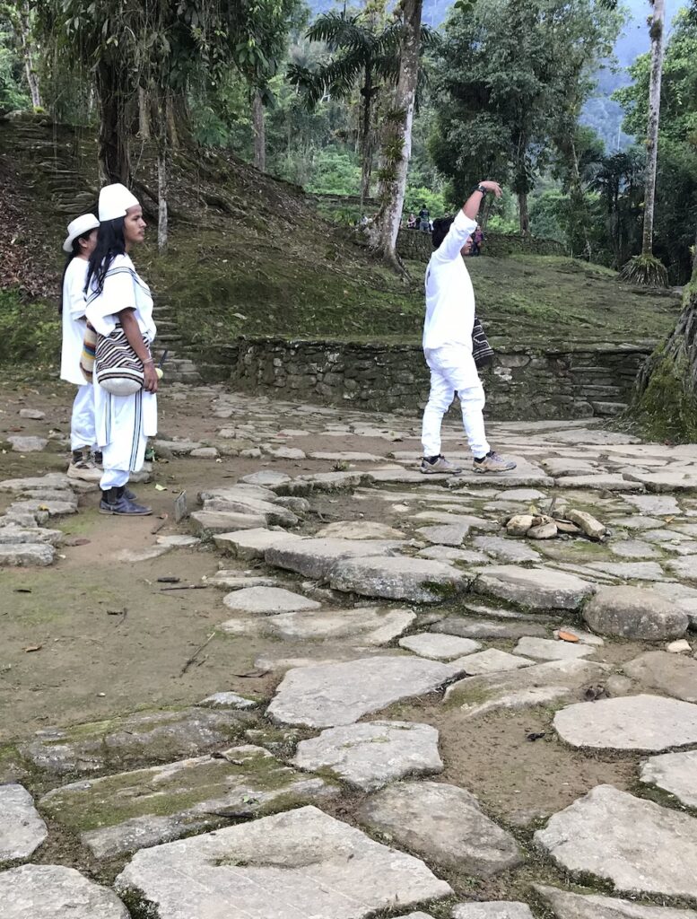
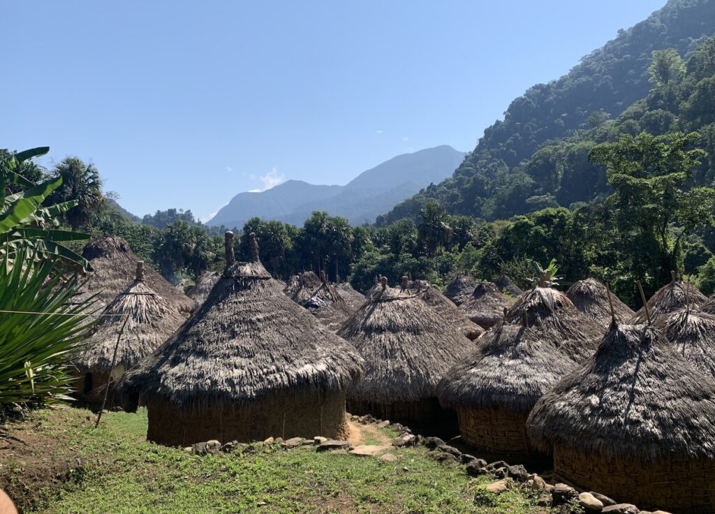
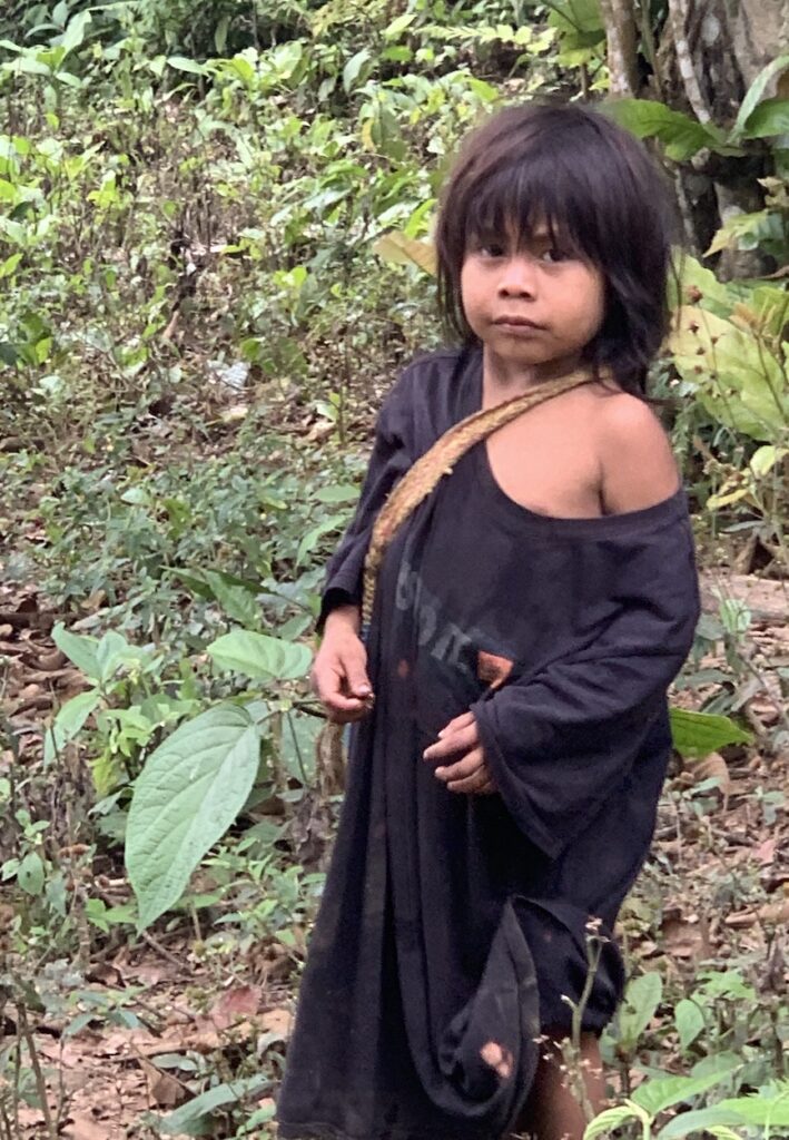
Right photo: One of the six tour companies is owned by the Wiwa people, who wear white clothing and flat hats. The man with a hat in the shape of a mountain (like a Sierra Nevada peak) is a member of the Arhuaco people, another of the indigenous groups in the Sierra Nevada. It was easy to imagine the conflicts that tourism is bringing—on the one hand, the indigenous people are benefiting financially, but on the other hand, the introduction of so many foreigners brings inevitable challenges to their traditional way of life.
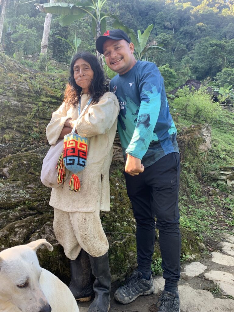
Right photo: Our guide Misael with a Mamo, a spiritual leader. When the indigenous people in the region, who refer to themselves as “Elder Brothers”, received news of the COVID-19 pandemic, they were not surprised because they had already received warnings from their Mamos. Trained to look to nature for guidance, these spiritual leaders have been saying that Earth would be plagued with “unknown illnesses”—along with climate change and water and food shortages—because of the environmentally destructive practices of the “Younger Brothers”, meaning non-indigenous society. They believe that humanity must return to the Law of Origin—the original instructions about how to co-inhabit in a harmonious way with everything on the planet—or be subjected to increasing levels of crisis.
Three-day trek with Native Expeditions
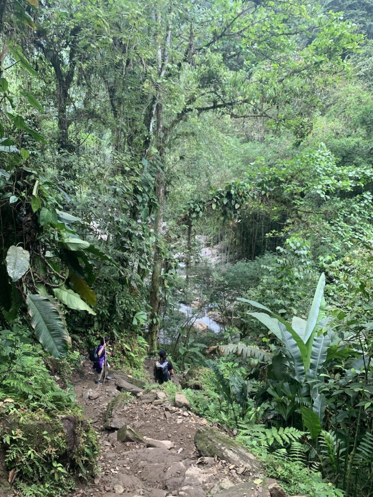
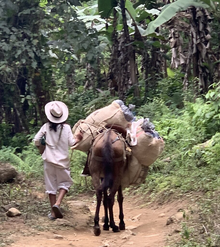
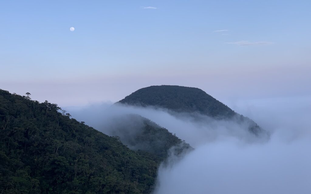
To learn even more about the Sierra Nevada, its natural features, and its culture, we did another trek with Native Expeditions (https://www.nativexpeditionscolombia.com/la-expedicion-nativa). This trek, called the Path of Waterfalls, was even more rigorous than the trek to Ciudad Perdida. The total distance was 36 km (22 miles), but the trails were steep, narrow and rocky, and we reached a higher elevation. On Day 1, we hiked 11 km (6.6 miles), with an elevation gain of 1250 m (4100 ft), to reach our highest elevation of 2200 m (7200 ft). But it was worth it!
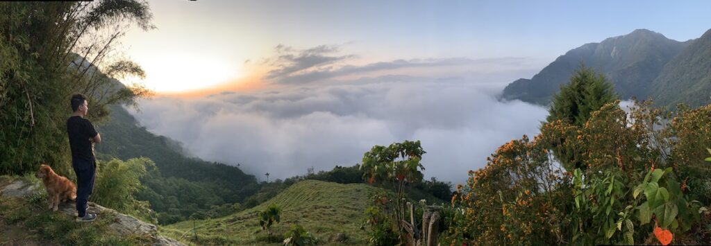
The serenity of the Sierra Nevada de Santa Marta is compelling and the area is well worth a visit. The indigenous people have been recovering from their centuries-long exploitation, but problems continue. The mountains contain rich natural resources, with the attendant “development” threats. It remains to be seen if society will listen to the “Elder Brothers” (indigenous people) and decide to leave them in peace to continue their sustainable way of life.
Karen, Very nicely done. Thanks for this. I love to walk, and only wish I had two good legs to trek like you and Jay do. I’ve spent time in S.Am. as you know, and appreciate your sensitivity and respect for the cultures and peoples. Cheers, John
Thanks John. I appreciate your comment. We’ll keep doing it as long as we can!
Very interesting Karen. Love your photos. Thanks for sharing your insights related to the indigenous people.
Thanks for reading Jolene!