John Day Fossil Beds National Monument—climate
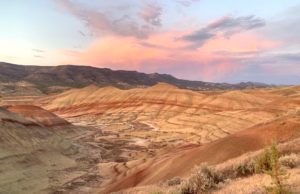
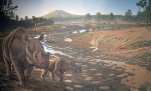
My previous post about paleontology explored how plants and animals changed during the 44-million-year time period represented in the John Day Fossil Beds. The evolution of species, in general, occurs because species eventually become extinct and new species arise to take their places. Today, human activities are contributing to organisms' extinction, but there are many natural factors that have caused...
John Day Fossil Beds National Monument—paleontology
Paleontology is the study of plant and animal fossils to understand how life has evolved through geologic time. The John Day Fossil Beds are a world-class locality for such studies. According to Dr. Ralph W. Chaney, a paleontologist at the University of California Berkeley (UCB) who worked in the area from the 1920s through the 1960s: “No region in the...
John Day Fossil Beds National Monument—stratigraphy
The John Day Fossil Beds is located in north-central Oregon. It was established as a national monument in 1974. The region has one of the world's most complete records of fossils during the Age of Mammals, a period of time also known as the Cenozoic Era (past 66 million years). There will be three blog posts: (1) stratigraphy—how layers of...
Mount Hood — Oregon’s highest peak
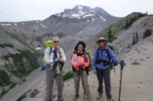
After smoky air deterred us from backpacking locations in northern California, we headed north to Mount Hood. There, the Timberline Trail promised an interesting trek around Oregon's highest mountain (3426 m / 11,240 ft), located about 80 km (50 miles) east of Portland. Mount Hood is the northernmost Cascade Range volcano in Oregon. See my post about Crater Lake for...
Why are there so many hills in San Francisco?
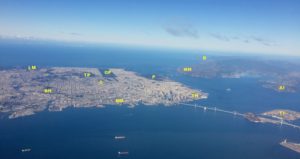
Any visitor to San Francisco will be impressed by the number of hills and how they contribute to the overall beauty of the city. People (like me) who have resided in San Francisco have found biking and walking routes to avoid the steepest hills, and have appreciated how the hills compartmentalize the city into distinctive neighborhoods and provide stunning views....
Plate tectonics 101—What happens at hot spots?
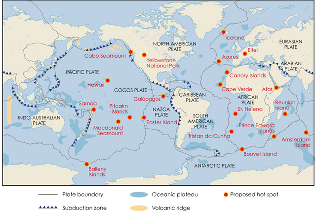
As seen in my last three posts, most geologic action occurs at the boundaries between lithospheric plates. But in some places we find active volcanoes and earthquakes that are not at plate boundaries. This post will explore these places, where geologic action is occurring at so-called "hot spots". What are these features; what causes them; and what are some of...
Plate tectonics 101—What happens when plates slide past each other?
Oceanic crust is created at divergent plate boundaries and destroyed at convergent boundaries, but transform boundaries cause neither; rather, they transform motion between other types of plate boundaries, enabling plates to move about efficiently on our spherical planet. In this post, we will explore various examples. The majority of transform boundaries are found in the ocean, where they separate segments...
Plate tectonics 101—what happens when plates move toward each other?
When plates move away from each other (divergent boundaries; see last post on December 31), new oceanic crust is created. Since Earth is not expanding, ocean crust must be destroyed elsewhere. This happens at convergent boundaries, where plates move toward each other. Here, oceanic crust is destroyed, or rather, it gets recycled back into Earth's depths. The places where oceanic...
Plate tectonics 101—what happens when plates move away from each other?
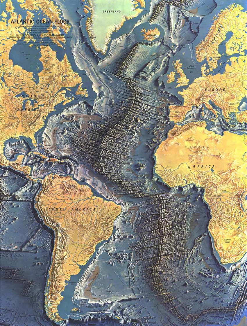
It's winter in the midst of a pandemic, and travel is restricted. So it seems a good time to go back to some geologic basics, the knowledge of which are sometimes assumed in these blog posts. The next four posts will explore the essentials of plate tectonics—the underpinning of our modern geologic understanding. Plate tectonics refers to the processes that...
The geology of Point Reyes National Seashore
Although not as widely known as Yellowstone and Yosemite, Point Reyes National Seashore is particularly loved by residents of the San Francisco Bay Area. Just an hour's drive from downtown San Francisco, Point Reyes feels a world away and provides a welcome refuge from urban life. Most also know that the San Andreas fault (SAF) extends through the park and...
The geology of Yosemite National Park
With stunning vistas of shear rock walls, cascading waterfalls, rounded granite domes and jagged spires, it's no surprise that Yosemite is one of the most popular national parks in the U.S. While most visitors are drawn to Yosemite Valley, the park has numerous other wonders beyond the valley and even the park boundaries in the Sierra Nevada (=snowy mountain range...
The geology of Yellowstone National Park, and its precursors in Oregon and Idaho
Yellowstone has the distinction of being the first national park in the U.S., and probably in the world. President Ulysses S. Grant signed the bill to protect more than one million acres—mostly in Wyoming—in 1872. Yellowstone was set aside because of its hydrothermal displays—the park contains more than 10,000 features, including the world’s greatest concentration of geysers, hot springs, mud...
About the Blogger
 Karen (here with Mt. Shasta in background) is a geology professor emerita who aims to provide a "pocket geologist" for world travelers. Follow the blog to explore the landscapes of our planet and figure out what causes them to look the way they do.

