Warner Range in the northeast corner of California
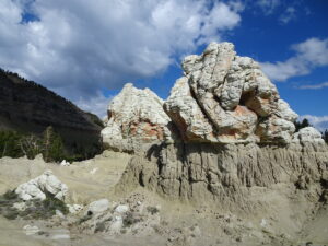
Because of its remote location far from urban centers, the Warner Mountain Range is relatively unknown. We have thought about visiting this place, and exploring its volcanic rocks, for many years. We knew about the Warners because my husband Jay traveled through them on the way to his geologic field site in the Black Rock Desert in northwestern Nevada (see...
Marble Mountain Wilderness in northern California
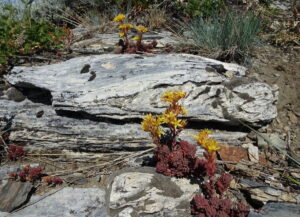
Marble, with its typical brilliant white color, is beautiful! And it's rare on the U.S. west coast. So I was excited to finally visit the Marble Mountains in northern California via a backpacking trip from July 13–16. Five of us traveled 2 hours south from Ashland, Oregon, and parked at the Lovers Camp trailhead. From there, we hiked up to...
Why are there so many hills in San Francisco?
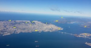
Any visitor to San Francisco will be impressed by the number of hills and how they contribute to the overall beauty of the city. People (like me) who have resided in San Francisco have found biking and walking routes to avoid the steepest hills, and have appreciated how the hills compartmentalize the city into distinctive neighborhoods and provide stunning views....
The geology of Point Reyes National Seashore
Although not as widely known as Yellowstone and Yosemite, Point Reyes National Seashore is particularly loved by residents of the San Francisco Bay Area. Just an hour's drive from downtown San Francisco, Point Reyes feels a world away and provides a welcome refuge from urban life. Most also know that the San Andreas fault (SAF) extends through the park and...
The geology of Yosemite National Park
With stunning vistas of shear rock walls, cascading waterfalls, rounded granite domes and jagged spires, it's no surprise that Yosemite is one of the most popular national parks in the U.S. While most visitors are drawn to Yosemite Valley, the park has numerous other wonders beyond the valley and even the park boundaries in the Sierra Nevada (=snowy mountain range...
Lassen Volcanic National Park—the southernmost Cascade Range volcano
The Cascadia Subduction zone extends along the entire coast of Washington and Oregon, but also along the northern coast of California. South of Mendocino, California, the plates change from converging with each other (the ocean plate loses and slides beneath the continental plate in the subduction zone) to sliding past each other along the San Andreas fault (a transform-type plate...
About the Blogger
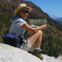 Karen (here with Mt. Shasta in background) is a geology professor emerita who aims to provide a "pocket geologist" for world travelers. Follow the blog to explore the landscapes of our planet and figure out what causes them to look the way they do.

